
Running Club Route Maps: Put the Route on the Run
A running club route map on the event answers where the run goes before anyone asks. How to put a drawn route, start point, and distance on every group run.
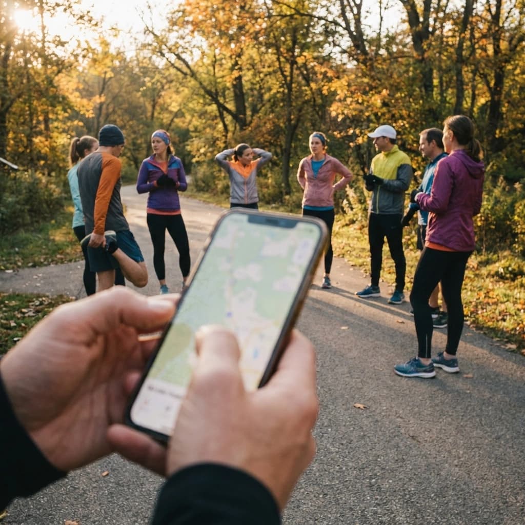
Every club has the same Tuesday message. It lands around 5:40 PM, an hour before the run, and it always reads the same way: "where are we running tonight?"
You know the answer. It is in your head, or in a screenshot you posted three weeks ago, or in the Strava activity somebody uploaded after last Tuesday. So you type it out again. Park entrance, the greenbelt, out to the second bridge and back, about five miles. You have typed that sentence forty times this year.
The question is not really the problem. The problem is that the route is not attached to anything. It is not part of the run, it is a thing you have to go get every week.
What is a running club route map, and why does it belong on the event?
A running club route map is the drawn course for one specific group run, attached to that run's listing so members see the start point, the path, and the distance in the same place they RSVP. It belongs on the event because the route is the answer to the question every newcomer asks and every run leader is tired of answering.
A route that lives in the leader's head, or in a screenshot from last month, is a route the club does not really have. It exists as long as you are available to describe it, and it disappears the night you are out of town.
This post is for the person who publishes the run. The club founder, the admin, the Tuesday night run leader. Not the runner who shows up.
Why does "where are we running?" cost a club more than it looks?
The first cost is obvious once you name it. You are the route hotline. You are also the calendar, the group chat, the signup form, and the person who reconciles all three. Most club founders are the integration layer between five tools that do not talk to each other, and every weekly question that only you can answer is one more thing that breaks when you are unavailable.
The second cost is quieter and more expensive. A first-timer will not ask.
A regular reads "the bridge loop" and pictures the whole thing, including the hill at mile three. A stranger reads a time and a place and has no idea what they signed up for. Five miles or nine? Pavement or trail? Is it a loop, so their car is where they left it, or a point-to-point that leaves them two miles from where they parked?
They will not post in the group chat to ask. They will decide it is not for them, and you will never know they considered you. The club does not get a complaint, it gets a person who does not show up.
That stranger is also arriving more often than they used to. In July 2026, Strava announced an Events tab inside its Groups experience that surfaces upcoming group runs, rides, and races based on an athlete's activity and location, along with a rebuilt Club Organizer Hub for club leaders. Strava describes its community as more than 195 million users across more than 185 countries. Club discovery is genuinely getting easier, which means more people are landing on your run listing cold, with no context and nobody to ask.
Fall sharpens it. Goal-race season pushes clubs onto routes the group has never run together, so even the regulars are new to the course, and darker evenings make "where does this go" a question people want answered before they start rather than at the first ambiguous turn.
How do you plan a group run route members actually follow?
This part is worth doing well whether or not you ever use a tool for it.
Start the route where the event meets. If the listing says the coffee shop and the route starts at the trailhead four blocks away, you have created a second instruction that somebody will miss. One meeting point, and the route begins there.
Prefer a loop, or a turnaround with a landmark. Loops are kind to newcomers because the finish is the start, which is where they parked. If you have to run an out-and-back, pick a turnaround that cannot be misread. The second bridge is a landmark. "About two and a half miles out" is a guess that half the group will get wrong in both directions.
State the total distance. Not the range, not "five or six depending." The number. People are fitting your run around the rest of their week and a mile of uncertainty is enough to make someone skip it.
Name the one spot where people get lost. Every route has one. The unmarked fork, the underpass where the path splits, the block where the sidewalk ends. One sentence in the listing prevents the small pack that takes the wrong turn at mile two.
One more rule that saves a lot of confusion: keep one route per listing. If your club runs two distances on the same night, build the shorter option as a clear cutoff on the same drawn route rather than publishing a second map that half the group never sees. Two maps for one run is how people end up in two different places.
This is about the listing, not the session. How far and where are the organizer's questions. How fast is the runner's, and it is not yours to prescribe.
How does RunLink attach the route to the run?
When you create an event in RunLink, you can draw the run's route on a map by dropping waypoints along it. The route's start auto-pins to the event's meeting location, so the place the listing names and the place the route begins are the same point by construction. The distance is calculated from the route you drew. Members open the event and see the route map right next to the RSVP.
That is the whole idea. The route is not a follow-up to the run, it is part of the listing, and it is there before anyone has to ask for it.
It works in both places you would create a run. In the iOS app, event creation is a single screen with a tappable route map and the distance filled in from what you drew. In the web dashboard, you can set the route on create and change it on update, which matters the week a trail closes and the run has to move.
Two limits worth stating plainly, because you should know them before you plan around them. Routes are drawn with waypoints on the map. There is no GPX import or export today, so a club that already keeps a folder of GPX files will redraw each route once. And RunLink has no pace groups or subgroups, so there is no way to attach a different route to a different pace bracket. One route per event, and a second event if the club genuinely runs two different courses.
What should the listing say next to the map?
The map does most of the work. Four lines finish it.
The meeting point in words. The map shows the pin, the sentence confirms it. "South lot at the park, by the restrooms" removes the last bit of doubt for someone who has never parked there.
The start time, and what happens at it. Whether you roll out at 6:00 sharp or gather at 6:00 and leave at 6:10 is a real difference to a person deciding how much traffic to risk.
The distance and the promise. The number from the route, plus whatever your club actually does about the back of the pack. If you regroup at intersections, say so. If there is a sweep, say so. A newcomer's real question is not the distance, it is whether the distance will leave them alone on a dark path.
The tricky spot. One sentence. The fork, the underpass, the block where the sidewalk ends.
When something changes on the day, weather or construction or a closed trail, put it in the club's chat rather than quietly editing the listing and hoping people reload. Update the route on the event so the listing is right going forward, and say what changed where your members are already talking.
None of this is complicated. It is just easier to keep doing when the route lives on the event instead of in your memory, which is most of what running a running club comes down to: moving the things only you know into a place the club can see.
Frequently asked questions
Can members see the route before they RSVP? Yes. The route map is on the event, next to the RSVP, so they can look at where the run goes and then decide.
Can I upload a GPX file? Not today. Routes are drawn by dropping waypoints on the map. If your club keeps GPX files, you redraw the route once when you set up the event.
Does the route have to start at the meeting point? The route's start auto-pins to the event's location, which is the point of it. There is no second start to explain and no way for the two to drift apart.
Can I set different routes for different pace groups? No. RunLink does not have pace groups or subgroups. Use one route with a clear cutoff for the shorter option, or create a second event if the two groups are really running two different courses.
The route is part of the run
Strava is very good at what it does. It will show you what your members ran after they ran it, and with the Events tab it is getting better at helping a runner find a club in the first place. That is a real win and it sends people your way.
But discovery drops a stranger on your listing. What happens next is on the listing. If it says a time and a place and nothing else, the stranger fills in the blanks with a guess, and the guess is usually "not for me."
Put the route on the run. Let the listing answer when, where it starts, where it goes, and how far, so the person who just found your club has nothing left to ask before they show up. And so you stop being the route hotline every Tuesday at 5:40.
RunLink is built for the person running the club. Claim your club, put your next group run on the calendar with the route attached, and let the listing do the explaining. The iOS app is live on the App Store and free to download.
Related Posts
Running Club Volunteer Roles and Term Limits That Stick
Running club volunteer roles and term limits keep a growing club from living in one founder's head. How to write the roles, set terms, and hand them off.
Running Club Nonprofit Status: Is 501(c)(3) Worth It?
Running club nonprofit status explained for founders: what 501(c)(3) actually changes, the RRCA group exemption route, and the filings that keep it alive.